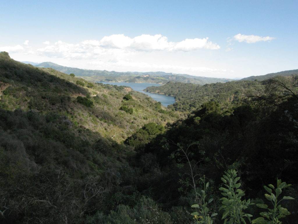
Bend, OR is one of the most popular play destinations in the Pacific Northwest. It’s about a 6+ hour drive from Seattle, and 3+ hours from Portland. I’m fortunate to be able to visit 2-3 times a year. Depending on the season and circumstances, my go-to activities include road cycling, mountain biking, trail running, hiking, peak bagging, area skiing, and cross-country skiing. Other popular options include rock climbing, paddle sports, and golf.
The main “play” objective this visit was to ride mainly gravel bikes with an old friend, David Smeeth. David and I taught together in the early 1990s at the Verde Valley School (aka “VVS”) in spectacular red-rocked Sedona, AZ. He still teaches mathematics there, and leads a mountain biking PE class. David and I reconnected last summer when he crewed for High Performance Cycling‘s 4-person team at Race Across Oregon. David had no idea what he was getting into, but the team’s enthusiasm inspired him so much that he has since gone all-in for gravel riding, and has already done a few 100+ mile gravel races.
In the early 1990s we were among the few locals mountain biking in the Sedona area. We rode rigid-framed bikes up and down the rugged cobbled washes and smooth red rock. A few days within my arrival, we joined a small group of local mtb activists who were scouting a new route on Mingus Mountain. It was unknown whether the route would go, and we were advised there could be some hike-a-bike. As it turned out, a lot of the “route” pushed the limits of my mtb technical skills, and the hike-a-bike section involved tossing the bikes over large patches of prickly pear cactus and cat claw acacia. After the ride, I had the look of an Arizona rookie with “Arizona pinstripes“–horizontal scratches from the cat claw–on my arms and torso.
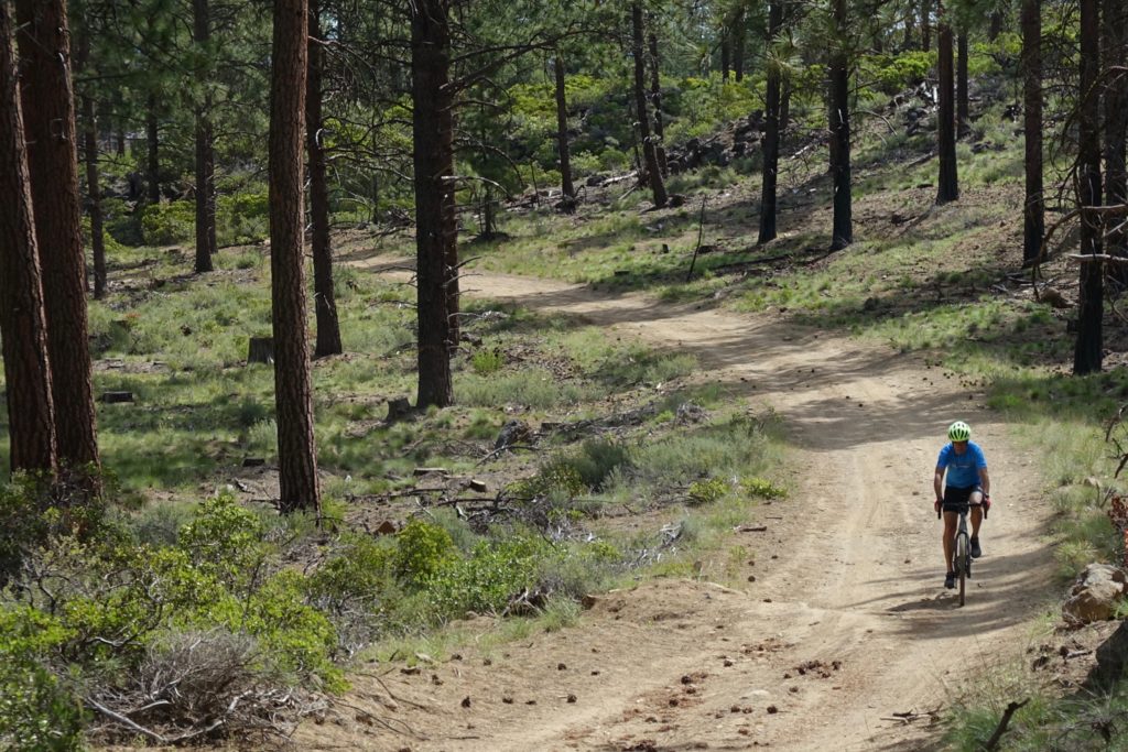
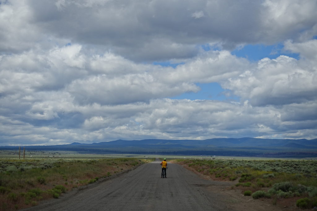
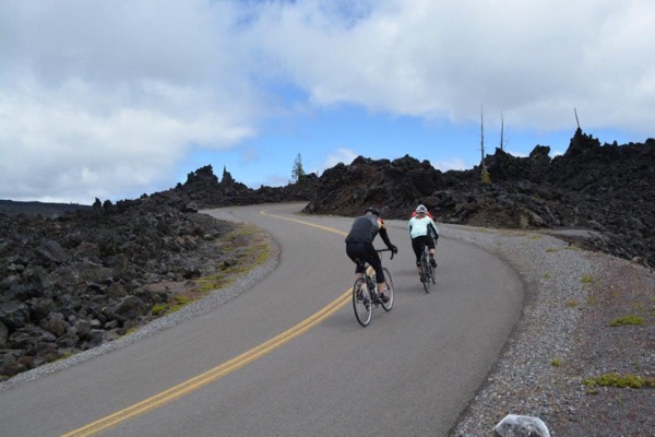
Although I mountain bike in Bend almost every summer, the gravel terrain was new. We relied on Dirty Freehub as our ride-planning resource. We also quickly learned that having a map and live gps coordinates was essential; bring enough battery power to keep your devices working. Some of the routes we did were, in places, confusing mazes of forest service roads. After getting off-route a couple times we decided it was worth checking our location at every intersection. Also, some of the routes turn into notorious and technically difficult dry “moondust” by midsummer. Stop at one of the many mountain bike shops to find out the best places to ride during your visit.
The weather that week was a surprise. I expected daytime temperatures in the 80s, but it barely got above 70, and there were almost daily afternoon thundershowers. I wore arm warmers and a wind vest on every ride. A couple times we cut the rides short because of the fast-changing weather, and made it home just in time to escape the downpours.
“Two Bulls, One Indian”
This was something I always imagined was possible–a round-trip loop from Bend to Sisters–but had never taken the time to investigate. We rode to the start in Shevlin Park, and the remainder of the route was a ~50/50 mix of gravel and pavement.
Upon further investigation it looks like a loop that is almost completely on gravel and dirt is possible. A one-way mountain bike ride with a car shuttle is also an option. We trimmed off the north part of this route north of Sisters, since it was on roads and we were looking for gravel and dirt. Our version still totaled about 100km.
We stopped at Angeline’s Bakery in Sisters for a mid-ride snack break. Angeline’s is/was a popular stop for riders doing the out and back over Old McKenzie Highway from the McKenzie River Ranger Station on Highway 126.
Dirty Freehub says: “This is a demanding ride, but it will take you to sights not seen by many: the Two Bulls fire area, Skyline Forest, Three Creeks Butte and creek. And…after descending into the town of Sisters, you will have big views of the Three Sisters Peaks on the way back in.”
On the long climb, there were a few short sections that got too steep for me to ride, and on the return from Sisters there were super sandy sections that both of us had to walk. The long paved descent into Sisters has great views of Broken Top and the Three Sisters Peaks, but had irritating frost heaves at regular intervals the entire way. Hold on to your handlebars! By trimming off the section north of Sisters we had to ride eastbound for ~5 miles on Highway 20 out of Sisters. On the other hand, doing the route as described would require crossing Highway 20. Either way, yuck.
“Oktoberfest”
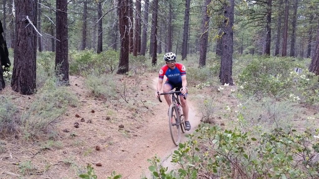
This ~ 80% gravel, 10% single track, 10% tarmac route appealed because it was relatively close to town, and had numerous bail-out options if the weather turned wet, which it did.
The full route crosses Tumalo Creek, climbs through the Two Bulls burn, parallels one of the old Tumalo canals, makes a “U” at Tumalo Falls, descends 3 miles of the Tumalo Creek Trail, and meanders through the Deschutes National Forest thinning project. Dirty Freehub recommends this route as a fall ride because of the colors, and because the dust is less of a factor during wet weather. The surface was great when we rode it–tacky and relatively dust-free.
During our adventure, we got quite a bit off course. As we pedaled to reconnect with the actual route we decided the weather was gonna be bad, so we returned to Phil’s Trailhead via Phil’s Trail. It was fun to ride the mostly flowy singletrack on gravel bikes! The bailout option worked.
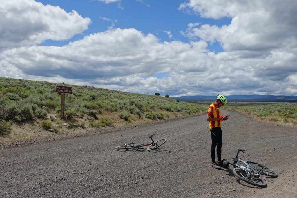
“Horse to Horse”
We selected this ride *just in case* of thundershowers, because we figured it is far enough east of the Cascade Crest to stay dry. Being east of Bend, when the weather is clear, it also has big views of the Cascades.
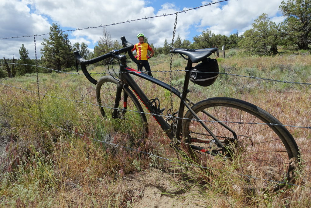
Dirty Freehub recommends doing this route in a counter-clockwise direction because “the washboard on China Hat road will feel less severe.” We rode it in a clockwise direction, and the washboard was pretty bad in spots, but not sure doing it in the opposite direction would change that. They also recommend riding it in the winter because the washboard is theoretically less, and there is less or no dust. Another big reason for not doing this route in the summer is that the area is an off-road vehicle recreation area, including a paintball facility, and we thought the vehicle traffic alone would be a major deterrent. On a weekday in late June, we only saw 4 cars on the gravel section.
There were three highlights for me on this route:
1. A short singletrack section adjacent to Highway 20 that connects with Old Highway 20. Dirty Freehub says you might need to hike a bike the singletrack, but we thought it was fun. We got slightly off-course riding up Highway 20 when we missed the easy-to-miss singletrack trailhead.
2. Abandoned Old HIghway 20, which has steeply canted curves. We wondered what kind of engineering went into the design because the incline seemed too steep for the circumstances.
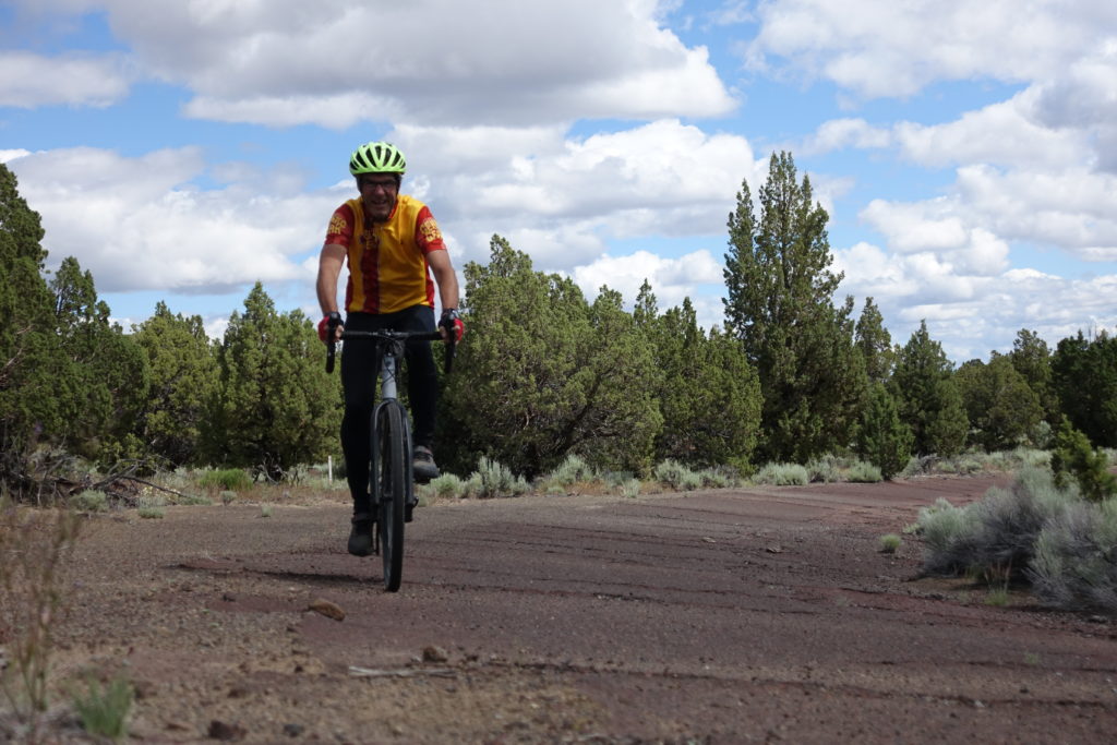
3. Wide open sagebrush views on the backside of the loop. Go on a clear day and I’m sure there are spectacular views of the Cascades.
There are tons of gravel routes being developed in the Bend area; be sure to include some gravel cycling in your next visit.
I agree, although I felt like a renegade riding Phil’s on a gravel bike 😉
I’d like to do Two Bulls, One Indian again…and figure out how to minimize the pavement.
On a map it looks like it’s possible maybe it’s possible via the Peterson Ridge mtb trail system to connect to forest service roads then back to the roads we were on near Tumalo…
Nice article David, really enjoyed your ride summaries and overall descriptions, all pretty much as iI remember it. Of the three rides, did you have a favorite? I really like the Two Bulls, One Indian for the length and the adventure of it. However, Horse to Horse was super scenic with beautiful wide open spaces.