At 2,399′, and being the highest point in the San Juan Islands, Mount Constitution is an obvious and appealing objective for the ambitious cyclist. Ambition is helpful in several respects: Getting to Orcas Island is usually a project; having a bike with you when the conditions are favorable may require a bit of persistence; and the climb is an intimidating ~2,000′ in ~6 miles.
I combined the Mt. Constitution assault with my fourth outing in the 2013 Coffeeneuring Challenge.
The adventure started at the Orcas Ferry where I pedaled to Eastsound via Killebrew Lake and Dolphin Bay Roads. This is a peaceful stretch of country road and I didn’t see a single car until merging with Orcas Road, which is the main drag between Eastsound and Orcas Ferry. There is an unpaved section on Dolphin Bay Road that is several miles long and includes a fairly strenuous climb followed by a somewhat technical descent with numerous s-turns and hairpins strewn with gravel. Orcas Road is quite busy and traffic moves at high speed, but drivers demonstrate patience as they pass.
There are several coffee shops in Eastsound, but I went with the tried and true Enzo’s Gallery Caffe.


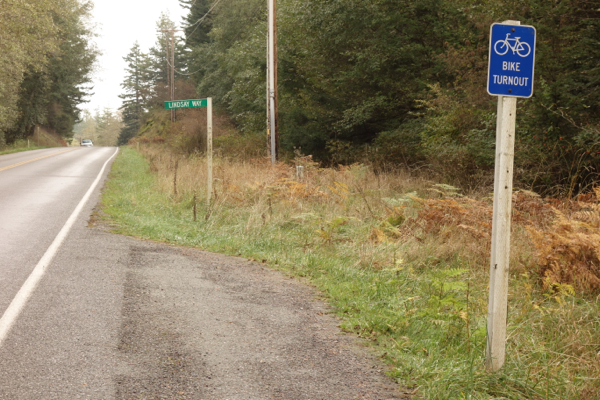
Refreshed with a hit of caffeine and cake, the legs were primed for Mt. Constitution. Between Eastsound and Moran State Park there are several bike turnouts. It’s not clear to me why these exist, except that maybe they are Orcas Island’s way of addressing motorist’s concerns about slow-moving cyclists.


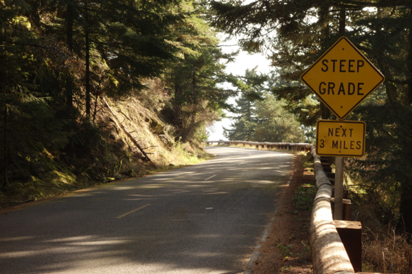
From the turn-off on Olga Road it’s ~4.7 miles to the end of the road, and most of that goes at a relentless 10-12%. I spent most of the time in a 34-27, though there are a few stretches near the top that were flat or slightly downhill where it was reasonable to spin the big chainring. The road surface had a greasy feeling, and the steeper sections required moving my center of gravity well over the rear wheel to minimize slippage as I struggled up the incline.


The hairpins are sharp and steep. Helpful tip: When ascending it saves energy to ride as far to the outside of the curve as possible where the angle is shallower.

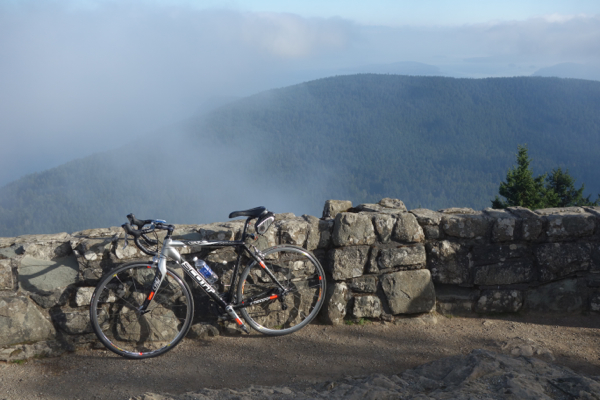
At the summit, if the weather is clear, there are fantastic views of the Cascade Range, Mt. Baker and Mt. Rainier. Unfortunately I didn’t get the great views this time around, but did get glimpses of blue sky which lifted the spirits after several weeks of a persistent inversion-layer induced fog in Puget Sound.

As you can see from the Strava map above, I didn’t return to the ferry. A round-trip would total about 45 miles depending on the route. I would recommend avoiding Orcas Road because of the fast-moving traffic and non-existent shoulder. Riders looking for an epic day of steep climbs could combine this Orcas Island-Mt. Constitution ride with the Mt. Erie Leg Shredder which would yield a very challenging century and about 10,000′ of climbing.

